 |
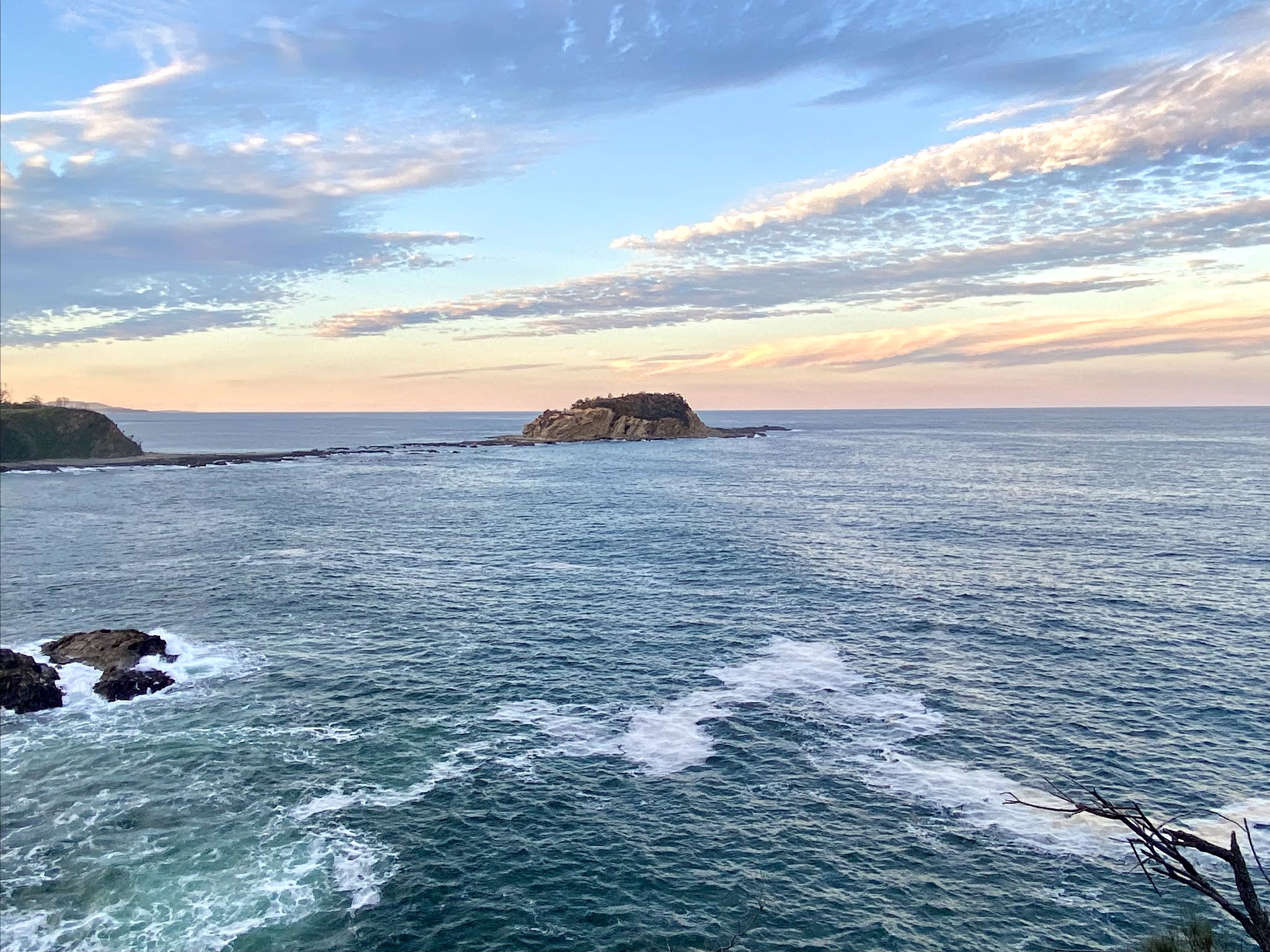
| Sunrise over Jimmy's Island, Rosedale |
Rosedale is located at latitude 35.8167 degrees south and longitude 150.2167 degrees east.
I decided to have a search for some other coastal places at the same latitude, both south and north.
Here's what I found:
35.8167 degrees South
In the southern hemisphere, the latitude runs through only 3 land masses - Australia (hitting the east coast at Rosedale, the Coorong in South Australia, and through the middle of Kangaroo Island, but not the west coast, which is further north), New Zealand and South America - Chile and Argentina.It misses southern Africa, the southern-most point of which is Cape Agulhas, 150 km east of the Cape of Good Hope, at latitude 34.8163° S.
Travelling east of Rosedale along this line of latitude, we would come to coastal areas at:
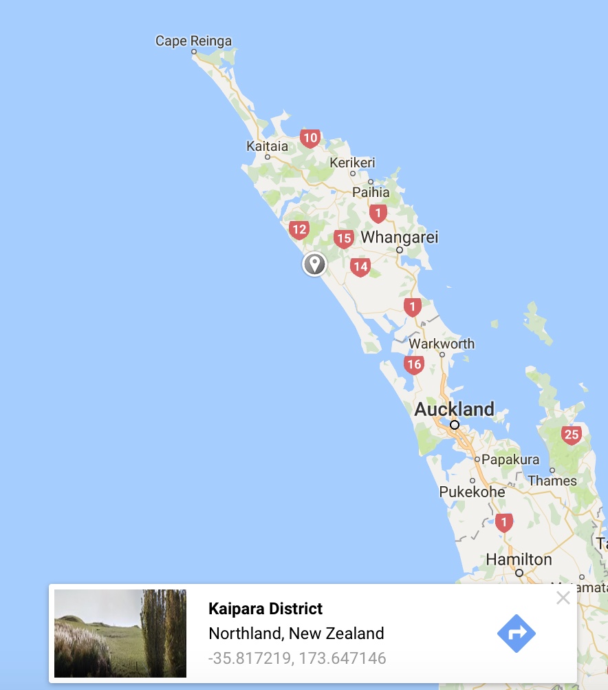
The Kauri Coast, Northland, New Zealand
This is the 'Northland' region, home of the most ancient Kauri trees, and long,wild beaches. Lat 35.8167 passes through Ripirio Beach.
 |
| Ripirio Beach |
 |
| Ripirio Beach - you can drive the 180 kms along it. |
Whangarei Heads / Ocean Beach, New Zealand
The beach at Ocean Beach is 8 kms to the south east of the town, and looks a fair bit like Rosedale.

 |
| Ocean Beach near Whangarei Heads looking south |
 |
| Ocean Beach near Whangarei Heads - looking north |
Pelluhue, Chile
A resort town, with a population of about 6,500, which is growing due to its popularity with retirees. It grew from a fishing village to one with a huge influx of summer holiday-makers and tourists. Just like Rosedale.
But there's one major difference. On February 27, 2010, it and neighbouring town Curanipe were partly destroyed by an earthquake measuring 8.8 on the moment magnitude scale, and its associated tsunami that left 60 ft fishing vessels in the streets, the town "covered in mud" and hundreds of homes - estimated to be 300 in Pelluhue - "completely gone", as reported by the press.
(Source: Wikipedia)
Castelli Partido, Buenos Aires Province, Agentina
Located on the east coast of Buenos Aires Province in Argentina, this provincial subdivision has a population of about 8,000 in an area of 2,100 km² (811 sq mi). Its
The latitude 35.8167 deg S is on the coast just to the southeast of Beunos Aires, near the mouth of the Rio de la Plata
Kangaroo Island, South Australia
It's a long way before Latitude 35.8167 S runs through land again. It skirts underneath South Africa, across the Indian Ocean, and beneath Western Australia before running through Kangaroo Island.
Western Kangaroo Island
Near the Ravine des Casoars is where our latitude hits land on Kangaroo Island. "Aboriginal sites have been identified by the South Australian Museum at Ravine des Casoars. As of 1999, radiocarbon dating of material recovered via archaeological excavation from sites at Cape du Couedic and Rocky River to the south of the ravine’s catchment area suggest Aboriginal presence in the western end of Kangaroo Island from approximately 7,500 years BP to as recent as 350–400 years BP." (Wikipedia)
 |
| Beach at western end of Ravine des Casoars |
 |
| Beach at end of the Ravine |
Eastern Kangaroo Island
Latitude 35.8167 South runs back into the sea near Cape Willoughby on the eastern side of Kangaroo Island
Cape Willoughy boasts South Australia's first lighthouse. It is possible to stay in the cottages.
The Coorong
One of the most fascinating wetlands in Australia is the area known as the Coorong. This is the last coastal point on Latitude 35.8167 before it travels inland across South Australia and western NSW to Rosedale. It is aNational Park, rich in wildlife - birds, animals and fish.


